Age verification
Are you 18 years of age or older?
Walking trail to Gasterntal
A beautiful hike leads from Kandersteg up into the high alpine valley of Gasterntal. This varied and scenic route offers impressive natural experiences and passes through an idyllic floodplain landscape surrounded by a wild mountain environment.
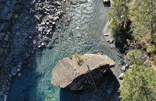
Through a unique landscape of alpine wilderness and floodplains
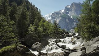
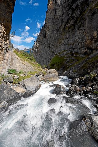
This varied and scenic hiking route forms the first section of the ascent to the Lötschenpass. Along the way, hikers gain insight into an idyllic floodplain landscape surrounded by a dramatic alpine setting. From Kandersteg railway station, the trail follows the Kander river through the narrow Klus gorge and continues into the broad Gasterntal, framed by steep mountain slopes. Meandering streams, gravel plains, islands of vegetation and the impressive waterfalls cascading from the cliffs below the Tatelishorn give this unspoilt alpine valley its distinctive character.
Travel comfortably with BLS to Kandersteg.
Walking trail to Gasterntal
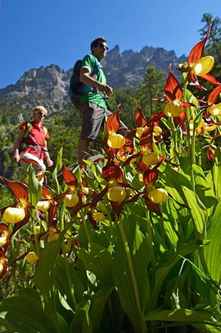
From Kandersteg Railway Station, follow the rail embankment on the village side and go through the underpass to reach Bütschels. From there, the trail follows the River Kander to Filfalle, where you must once more pass under the railway line. Above, one can see the avalanche barriers by Jegertosse, which protect the entrance to the Lötschberg Tunnel. In Eggeschwand, the trail leads into the forest and to the roaring Kander. It leads past the turbulent waters through the narrow passage, the Klus, and upwards to the Restaurant Waldhaus. The next section through Gasternholz in Gasterntal, which is wide open but surrounded by steep mountain slopes, offers the joys of a pristine Alpine valley with meandering streams and islands of alluvial ground and vegetation. The waterfalls which shoot forth from the cliff faces beneath the Tatelishorn are impressive. The trail then leads through light, mixed woodland with lush flora to Staldi and on to the Alpine hamlet of Selden.
| Route | Bahnhof Kandersteg–Waldhaus–Selden |
| Distance |
10.7 km |
| Hiking time | circa 3 hours 15 minutes |
| Elevation gain |
+ 524 m |
With the hiking bus, the walk can be shortened – don’t forget to make your telephone reservation, Tel. + 41 33 671 11 72.
Lötschenpass walk
Anyone seeking a bigger challenge can undertake the popular Lötschenpass walk.
Route: Kandersteg–Gasterntal–Lötschenpass–Lauchernalp–Lötschental–(Wiler) (can be combined via Restipass)
Walking time: dependent on route
Distance and elevation difference: dependent on route
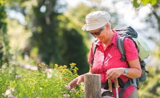
Hiking trail
Accessible from middle of May to October
Hike Lötschenpass from approx. mid-June to October
Bus to Gasterntal
Operates daily from 30 May to 4 October 2026
Gasterntal Bus Schedule
Telephone reservation obligatory: Tel. + 41 33 671 11 72
Subject to change without prior notice
Seat reservations for the bus to Gasterntal
Seat reservations are mandatory and can be made via the following telephone number: