Age verification
This offer includes alcoholic beverages and is intended exclusively for persons aged 18 and over. Please confirm your age to continue.
Are you 18 years of age or older?
Are you 18 years of age or older?
Hiking & nature
On the Alpine Panorama Trail to the Napf
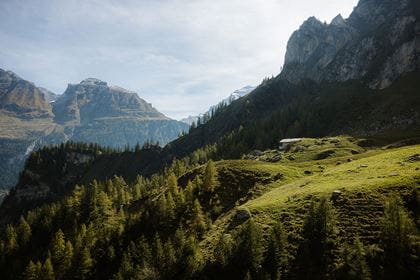
Hike from Menzberg over the Napf to the Mettlenalp
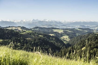
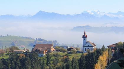
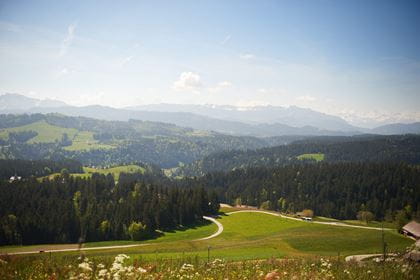
The hike begins in the village of Menzberg with its stately church and wonderful views of the Central Swiss Alps. Unspoiled nature, picturesque paths, green valleys and gentle hills await you on this panoramic hike. The view of the Alps is a dream. You will be amazed.
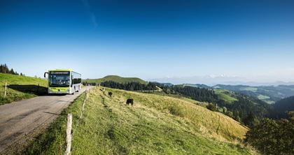
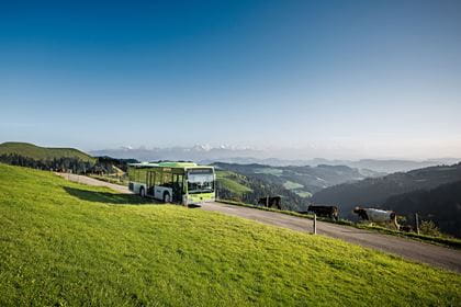
Travel comfortably with the BLS to "Menznau" and continue by bus to "Menzberg, Dorfplatz".

Route description
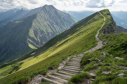
Many paths lead to the Napf - but no road. One of the most beautiful approaches to the summit is the panoramic ridge above Menzberg. The panorama from the Napf of the Alpine chain, the Central Plateau and the Jura is one of the most magnificent in Switzerland. Enjoy this hike on stage 14 of national hiking route no. 3, the «Alpine Panorama Trail». The national hiking route with a total length of 510 kilometers leads in 30 stages from Lake Constance across Switzerland to Lake Geneva.
Key data
Availability & How to get there Today (Sunday) open
From 2 May to 1 November 2026 exclusively on Saturdays and Sundays, as well as public holidays
Take the train to "Menznau", continue by bus 261 to the final stop "Menzberg, Dorfplatz".
Return journey from "Mettlenalp (Napf)" by bus 284 (BLS hiking bus). Please note that there is only one bus connection in the afternoon for the return journey.
Return journey from "Mettlenalp (Napf)" by bus 284 (BLS hiking bus). Please note that there is only one bus connection in the afternoon for the return journey.
The normal public transport fares apply to the BLS Hiking Bus.
Food & drink
For a well-earned snack or thirst quencher, the following restaurants can be found on the route between Menzberg and Mettlenalp:
Location
Similar offers

Offers nearby