Age verification
This offer includes alcoholic beverages and is intended exclusively for persons aged 18 and over. Please confirm your age to continue.
Are you 18 years of age or older?
Are you 18 years of age or older?
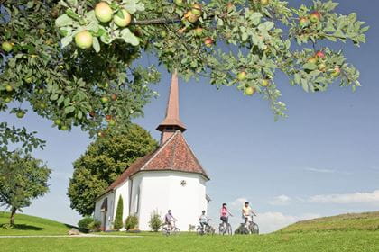
Hiking & nature
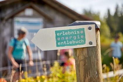
Emmental–Entlebuch high-altitude trail
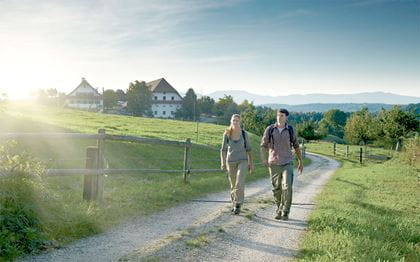
Hike from Mettlenalp, via Fontanne, Obstaldenegg to Schüpfheim
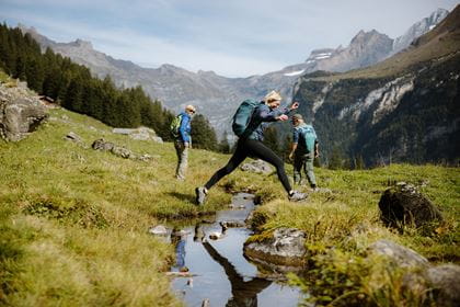
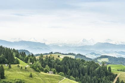
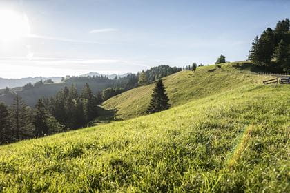
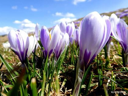
Embark on a journey of discovery through the Emmental and the UNESCO Entlebuch Biosphere. Enjoy the view of the wild gorges and streams of the Napf region and immerse yourself in the rolling hills of the Emmental with a view of the Bernese and Central Swiss Alps.
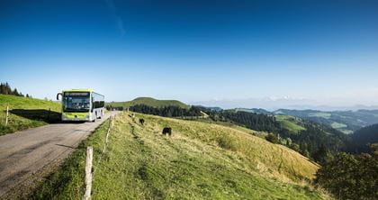
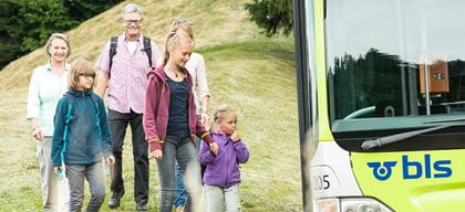
Travel in comfort with the BLS to "Langnau i. E." and then take the BLS hiking bus to "Mettlenalp".
Route description
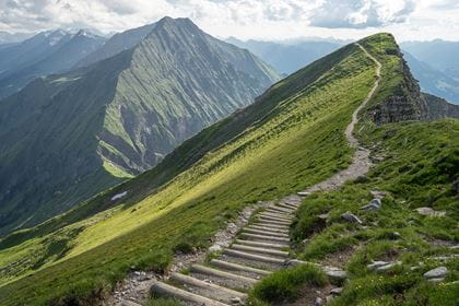
A winding and steadily ascending path leads you to the route of the Napfbergland border trail. You hike through forests and across alpine meadows on narrow but easily accessible paths. Crossing the cantonal border and following the high trail, you reach the UNESCO Biosphere Entlebuch from the Emmental «Chrächen» and «Gräben». Another short ascent from Fontanne to Obstaldenegg is rewarded with distant views of the Bernese and Central Swiss Alps.
Key Data
| Walking route | Mettlenalp–Fontanne–Obstaldenegg–Schüpfheim |
| Distance | 12,3 km |
| Walking time | 4 hours |
| Difference in altitude |
+ 488 m / – 823 m |
| Difficulty level | Trail: easy
Fitness: medium |
Availability & How to get there Available on 25.07.2026
From 2 May to 1 November 2026 exclusively on Saturdays and Sundays, as well as public holidays
By train to "Langnau i.E.", from there by bus no. 284 (BLS hiking bus) to the final stop "Mettlenalp (Napf)".
Return journey by train from "Schüpfheim".
Return journey by train from "Schüpfheim".
The normal public transport fares apply to the BLS Hiking Bus.
Food & drink
For a well-earned snack or thirst quencher, the following restaurants can be found on the route between Mettlenalp and Schüpfheim:
Location
Similar offers