Age verification
Are you 18 years of age or older?
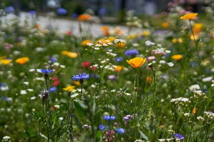
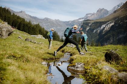
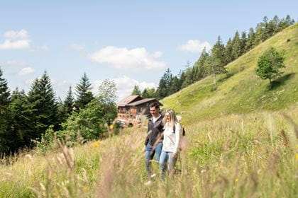
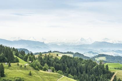
Walking high above the Hornbachgraben Valley
Hike from Eriswil, via Ahorn, Oberi Lushütte to Wasen i.E.
You start this hike from the village centre of Eriswil. The trail climbs steadily up via the Bettler Alp to the viewing platform on the Ahorn. From there, take the Napfbergland Border Trail and hike over the high ground north of the Hornbachgraben up to Oberi Lushütte. Pause for a moment there to enjoy the view of the rugged hills and deep gorges, surrounded by the Bernese Alps. The trail then descends through woods and Alpine meadows until you reach Wasen i E.
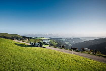
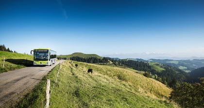
Travel in comfort with the BLS to "Huttwil" and continue by bus to "Eriswil, Station".
Route description
You start the hike in the village center of Eriswil. The hiking trail leads steadily uphill via Alp Bettler to the viewing platform on the Ahorn. From there, take the Napfbergland border trail and head over the heights north of the Hornbachgraben up to Oberi Lushütte. Stop for a moment and enjoy the view of the rugged hilly landscape with the depths of the «Chrächen», which are surrounded by the Bernese Alps. Descend through forest and across alpine meadows to Wasen i.E.
Key data
| Walking route | Eriswil–Ahorn–Oberi Lushütte–Wasen i.E. |
| Distance | 23,1 km |
| Walking time | 7 hours 15 minutes |
| Difference in altitude |
+ 618 m / – 616 m |
| Level of difficulty |
difficult |
Availability & How to get there Today (Tuesday) open
The trail is accessible from 1 April to 31 October.
Return journey from "Wasen, Kirche" by bus no. 481.
The normal public transport fares apply to the BLS Hiking Bus.
Food & drink
For a well-earned snack or thirst quencher, the following restaurants can be found on the route between Eriswil and Wasen:
BLS suggestion
Shortened hike
Take the Ahornbus from Huttwil to Ahornalp. This reduces the hiking time by about 1 hour and 30 minutes.
The bus is only available on advance booking no later than 11.00 hours the day before by order form or tel. +41 62 962 55 05.