Age verification
Are you 18 years of age or older?
Walking to the Lüderenalp mountain viewpoint
Hike from Eriswil, via Ahorn, Oberi Lushütte to Lüderenalp
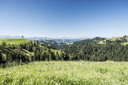
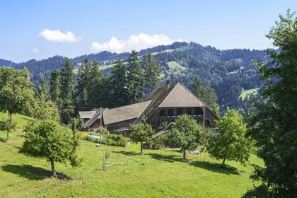
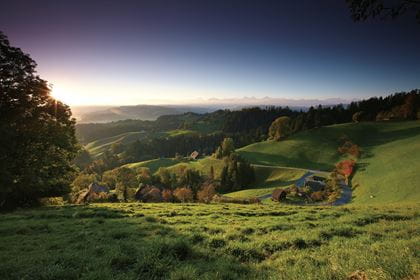
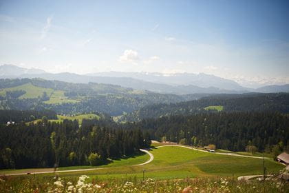
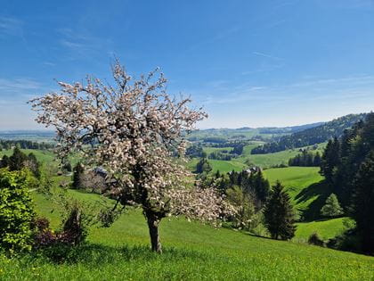
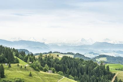
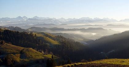
This beautiful hike starts in the picturesque village of Eriswil with its traditional farms. The trail then leads through lush meadows and dense forests. Take a short break at the Lushütte and enjoy the local delicacies before continuing on towards Lüderenalp. The majestic mountain backdrop accompanies you at all times.
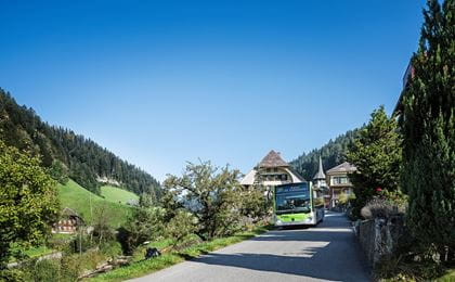
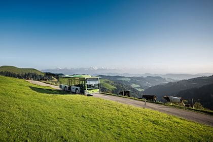
Travel in comfort to "Huttwil" and continue by bus to "Eriswil, Station".
Route description
You start the hike in the village center of Eriswil. The hiking trail leads steadily uphill via Alp Bettler to the viewing platform on the Ahorn. From there, you take the Napfbergland border trail and head over the heights north of the Hornbachgraben up to Oberi Lushütte. From there you hike past the Geissgratflue via Blutteriedschwand to Lüderenalp. The hike is also suitable as a two-day tour with an overnight stay in the Oberi Lushütte alpine inn.
Key data
| Walking route | Eriswil–Ahorn–Oberi Lushütte–Lüderenalp |
| Distance | 18,4 km |
| Walking time | 5 hours 50 minutes |
| Difference in altitude |
+ 618 m / – 227 m |
| Level of difficulty |
difficult |
- SwitzerlandMobility map with details of this walk
Availability & How to get there Today (Sunday) open
From 2 May to 1 November 2026 exclusively on Saturdays and Sundays, as well as public holidays
Travel by train to «Huttwil» and from there take bus no. 491 to the «Eriswil, Station» stop.
For your return journey from «Lüderenalp», take bus no. 285.
The normal public transport fares apply for the BLS hiking bus.
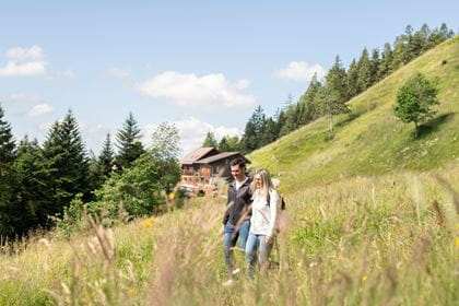
Food & drink
For a well-earned snack or refreshment en route between Eriswil and Lüderenalp, you can stop at the following restaurants:
- Bergrestaurant Ahornalp
- Alpwirtschaft Brestenegg
- Naturfreundehaus Ämmital (only staffed part-time, barbecue spot)
- Alprestaurant Lushütte
- Restaurant Bärnsicht Lüderenalp
BLS suggestion
Shortened hike
Take the Ahorn bus from Huttwil to Ahornalp. This reduces the hiking time by about 1 hour and 30 minutes.