Age verification
Are you 18 years of age or older?
Walking the Pilgrim Trail to Würzbrunnen
Hike from Signau, via Chuderhüsi, Würzbrunnen to Röthenbach i. E.
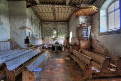
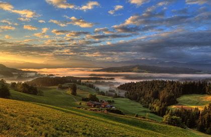
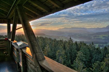
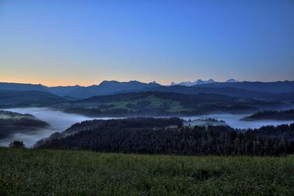
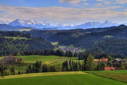
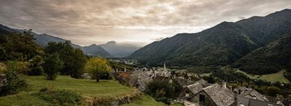
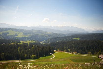
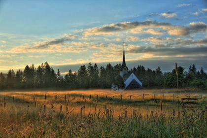
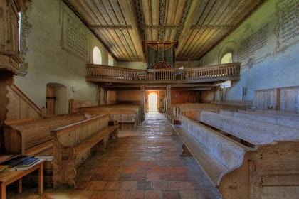
Natural experiences and picturesque landscapes await you as you hike along the pilgrimage trail from Signau via Chuderhüsi to Röthenbach. The view of the Alpine chain from Chuderhüsi is magnificent. You might even make a detour to the Chuderhüsi tower and enjoy the view from the very top. On the way to Röthenbach, you will pass the former pilgrimage church of Würzbrunnen, which is definitely worth a visit. The picturesque villages, lush green meadows and the gentle murmur of the streams accompany you all the way.
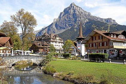
Travel in comfort with the BLS to "Signau".
Route description
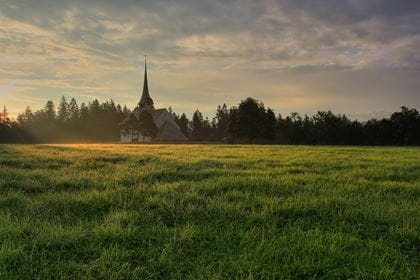
This spectacular panoramic hike has been around since the early Middle Ages. Following in the footsteps of the pilgrims, the trail leads past the ruins of Alt Signau castle and the Chapf viewpoint to the 42-metre-high Chuderhüsi viewing tower. You can also end the hike here (note the timetable for the return journey). The historical hiking trail ends at the 1000-year-old Würzbrunnen pilgrimage church and the former small monastery in Röthenbach i.E.
Key data
| Walking route | Signau–Chuderhüsi–Würzbrunnen–Röthenbach i. E. |
| Distance | 16,6 km |
| Walking time | 4 hours 50 minutes |
| Difference in altitude |
+ 629 m / – 487 m |
| Level of difficulty |
medium |
Availability & How to get there Today (Thursday) open
The hiking trail is accessible from 1 April to 31 October.
Take the train to "Signau".
Return journey from "Röthenbach i. E., Dorf" or "Röthenbach i. E., Chuderhüsi" by bus 271.
The bus stop "Röthenbach i. E., Chuderhüsi" is served on Saturdays and Sundays and on public holidays (May - October), the bus stop "Röthenbach i. E., Dorf" is served daily by the BLS bus.
The normal public transport fares apply to the BLS hiking bus.
Food & drink
For a well-earned snack or thirst quencher, the following restaurants can be found on the route between Signau and Röthenbach i.E:
- Restaurant Chuderhüsi Röthenbach (Christian-run, non-alcoholic restaurant)
- «ds Beizli überem Ämmitau» Gauchern Röthenbach
- Various restaurants in Röthenbach i.E.
Experience report Travelita
Anita Brechbühl, better known as Travelita, wrote an account in July 2020 about the hike from Signau to Chuderhüsi:
«Sunny at first, with thunderstorm clouds gathering around midday», this weather forecast prompted us to start our hiking day early once again. The starting point of today’s tour is Signau, in the Emmental region, which we reached easily and surprisingly quickly by train, with just one transfer in Bern read more.