Age verification
Are you 18 years of age or older?
From Chuderhüsi observation tower to Bowil
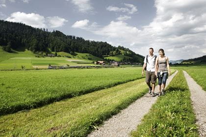
Hike from Chuderhüsi via Meienried to Bowil
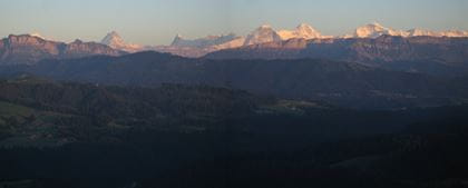
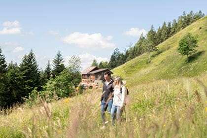
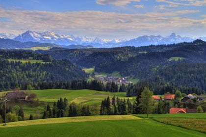
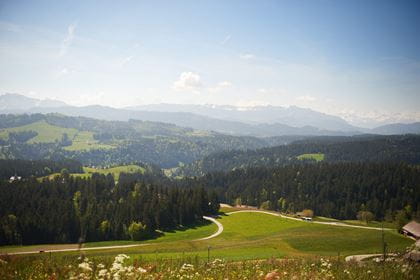
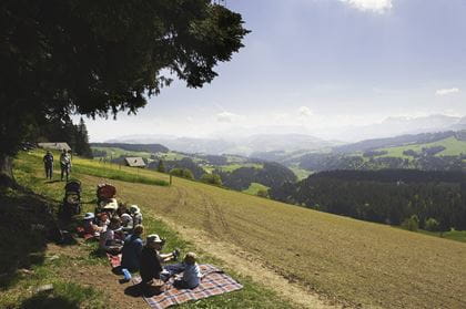
This short and easy hike offers a rich panorama of unspoilt nature and picturesque villages. From Chuderhüsi, you can enjoy the view over the Bernese Alps. The trail leads you past lush pastures and babbling brooks down to Bowil.
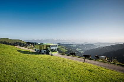
Travel in comfort with the BLS to "Signau" and continue by bus to "Röthenbach, Chuderhüsi".
Route description
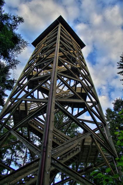
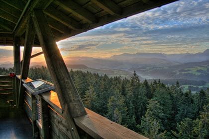
The starting point of the hike is the Chuderhüsi. Follow the small path to the 42-metre-high viewing tower, which offers one of the most beautiful views in the Bern region, from the Black Forest to the Bernese Alps. Then follow the signposted trail through the Nordic coniferous forest past the hamlet of Meienried and down to Bowil. In spring, the forest floor is covered in places with a carpet of delicate white blossoms of the «two-leaf shade flower». «ds Beizli überem Ämmitau» Gauchern offers refreshments. After a short distance, the path branches off to the right after the Chuderhüsi viewing tower.
Key data
| Walking route | Chuderhüsi–Meienried–Bowil |
| Distance | 5.3 km |
| Walking time | 1 hours 20 mins |
| Height difference | + 36 m / – 433 m |
| Difficulty level | Trail: easy
Fitness: easy |
Availability & How to get there Available on 25.07.2026
From 25 April to 1 November 2026 exclusively on Saturdays and Sundays, as well as public holidays
Travel by train to "Signau" and continue by bus 271 to "Röthenbach, Chuderhüsi".
Return journey from station "Bowil".
The normal public transport fares apply to the BLS Hiking Bus.
Food & drink
The following restaurants offer a well-deserved snack or thirst-quencher on the route between Chuderhüsi and Bowil:
- Restaurant Chuderhüsi Röthenbach (Christian-run, non-alcoholic restaurant)
- «ds Beizli überem Ämmitau» Gauchern Röthenbach
- Restaurant-Café Dörfli