Age verification
Are you 18 years of age or older?
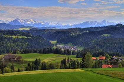
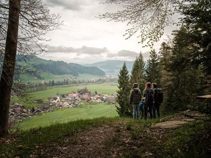
On the heights around the lower Frittenbachgraben Valley
Hike from Langnau i.E., via Dürsrütiwald, Geilisguetegg, to Zollbrück
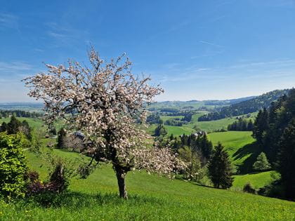
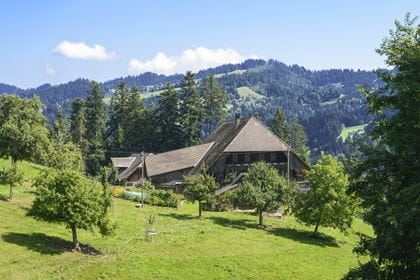
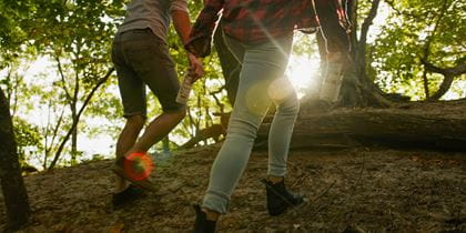
This beautiful hike leads through the historic Dürsrütiwald forest with its thick and tall silver fir trees. Unfortunately, the fir trees were felled illegally and now remain in the forest. The hike continues through the Unterer Frittenbachgraben with unique views of the Emmental valley, the Bernese Alps and the villages of Emmenmatt and Signau. The shady path leads past remote farms to Zollbrück. Many benches invite you to linger and enjoy.
Travel in comfort with the BLS to "Langnau i. E.".
Route description
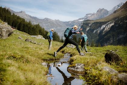
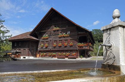
An impressive high-altitude hike around the Unter Frittenbachgraben awaits you. From Langnau i. E., follow the Trans Swiss Trail No. 2 towards Lützelflüh along the Ilfis. After 2.7 km, the «Alpenpanorama Weg» branches off to the right towards Lüderenalp. In the Dürsrütiwald forest, you can look out over the wide plain between the Emme and Ilfis rivers. Pre-Alpine and Alpine peaks line up above the forest ridges of Hohwacht and Churzenberg. Via Fluehüsli and over the Rotebühlegg you reach the unique Geilisguetegg vantage point. The route descends steeply through the forest to the farms of Ried. There are few hamlets in the Emmental with such an enclosed structure.
Key data
| Walking route | Langnau i.E.–Dürsrütiwald–Geilisguetegg–Zollbrück |
| Distance | 14,2 km |
| Walking time | 4 hours 10 minutes |
| Elevation | + 332 m / – 379 m |
| Level of difficulty | medium |
Availability & How to get there Today (Tuesday) open
The trail is accessible from 1 April to 31 October.
Travel comfortably by train to "Langnau i.E.".
Return journey from "Zollbrück, Bahnhof" by bus 284 or by train.
Food & drink